


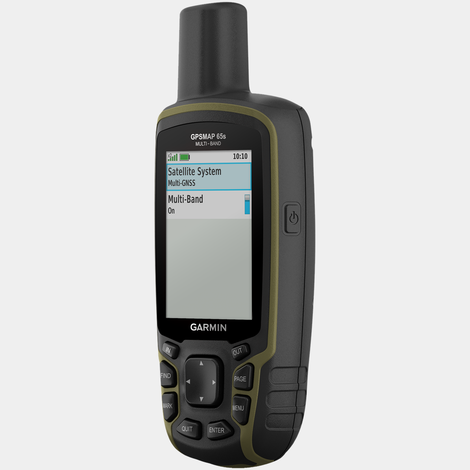
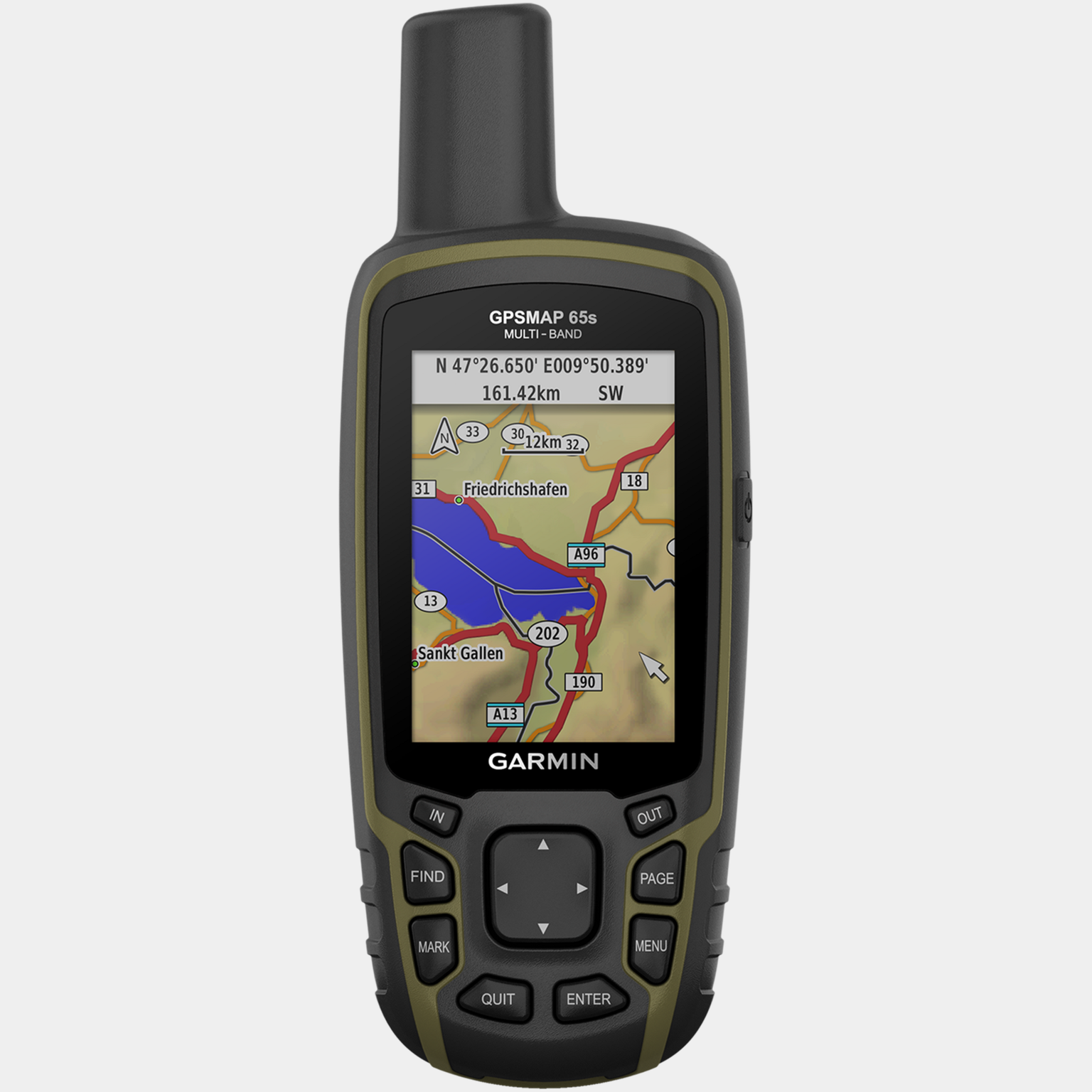
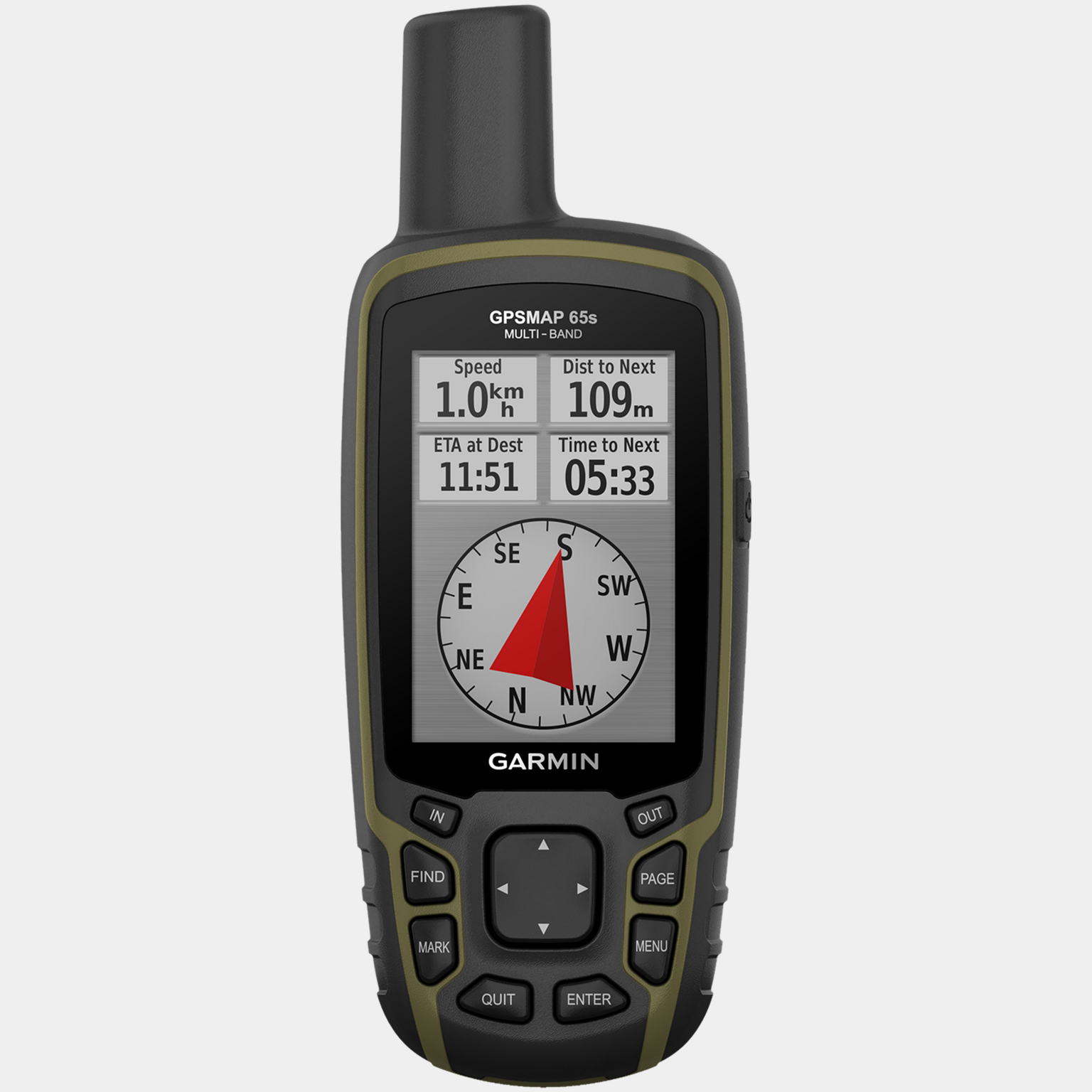
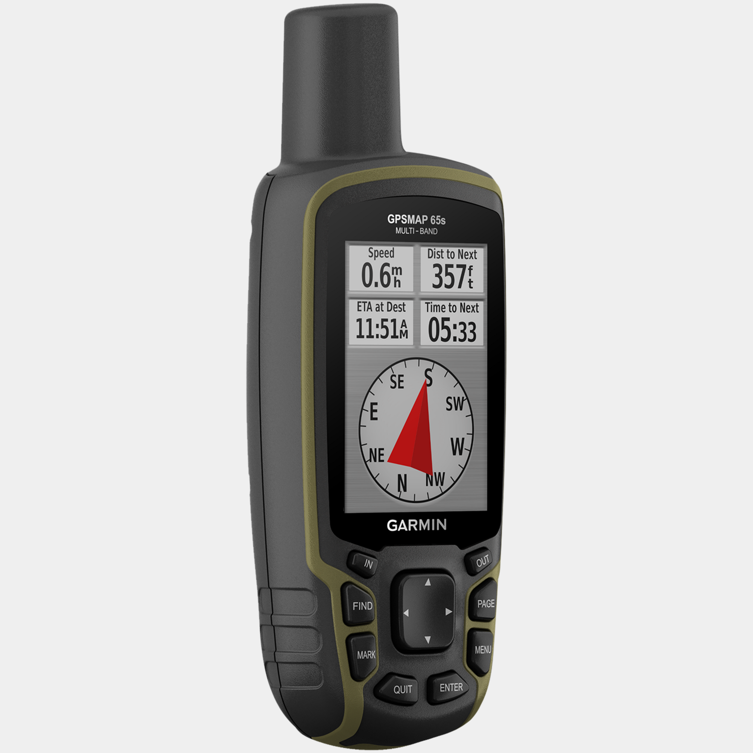

Garmin GPSMAP 65 offers advanced GPS support for greater accuracy in difficult terrain and dense forests. It is equipped with multi-frequency technology and is compatible with modern GNSS systems (GPS, GLONASS, Galileo, QZSS and IRNSS). Explore any route with ABC sensors: an altimeter for measuring altitude, a barometer for monitoring weather conditions and a 3-axis electronic compass. The 2.6-inch color display is compatible with the Garmin Explore® app, which provides offline connectivity for cloud-based route planning. The display is large and easy to read, even in direct sunlight, and the menu is easy to navigate.
Key features:
- Improved GNSS compatibility
- Satellite imagery
- Preloaded TopoActive Europe maps
- Geolocation search
- Smart notifications
- Find your way using preloaded TopoActive Europe maps, including detailed maps of roads and trails, waterways, landmarks, cultural landscapes, buildings and more.
- The device is compatible with microSD cards, so you can easily load TOPO 24K maps and navigate your way around, or use HuntView Plus maps to see general areas and boundaries, as well as landowner names and boundaries.
- Receive automatic geocaching updates in real time. Also look for treasures, including reports, logs and tips.
- Save waypoints, routes and trails on compatible devices. Plan, view and sync with the Garmin Explore™ app and website. You can also view your outdoor activities.
The device can also display smart notifications: when connected to a compatible device, you will receive emails, text messages and other notifications.
Technical specifications:
- Dimensions: 6.1 x 16.0 x 3.6 cm
- Screen size: 3.6 x 5.5 cm, 6.6 cm (2.6 inches) diagonal
- Screen resolution: 160 x 240 pixels
- Screen type: Bright TFT color display with 65,000 colors
- Weight: 217 g without battery
- Battery: 2 AA batteries (not included)
- Battery life: 16 hours
- Water resistance: IPX7 (splash and rain resistant)
- Memory: 16 GB
- Maps: Yes, TopoActive Europe (optional)
- Route planning: Yes
- Point/place memory: 5000
- Route memory: 200
- GPS, GLONASS, Galileo, QZSS: Yes
- Compass: Yes, with GPS
- Smart notifications: Yes
- AB navigation: Yes
- Hunting/fishing log: Yes
- Garmin Explore app compatibility: Yes
Key features:
- Improved GNSS compatibility
- Satellite imagery
- Preloaded TopoActive Europe maps
- Geolocation search
- Smart notifications
- Find your way using preloaded TopoActive Europe maps, including detailed maps of roads and trails, waterways, landmarks, cultural landscapes, buildings and more.
- The device is compatible with microSD cards, so you can easily load TOPO 24K maps and navigate your way around, or use HuntView Plus maps to see general areas and boundaries, as well as landowner names and boundaries.
- Receive automatic geocaching updates in real time. Also look for treasures, including reports, logs and tips.
- Save waypoints, routes and trails on compatible devices. Plan, view and sync with the Garmin Explore™ app and website. You can also view your outdoor activities.
The device can also display smart notifications: when connected to a compatible device, you will receive emails, text messages and other notifications.
Technical specifications:
- Dimensions: 6.1 x 16.0 x 3.6 cm
- Screen size: 3.6 x 5.5 cm, 6.6 cm (2.6 inches) diagonal
- Screen resolution: 160 x 240 pixels
- Screen type: Bright TFT color display with 65,000 colors
- Weight: 217 g without battery
- Battery: 2 AA batteries (not included)
- Battery life: 16 hours
- Water resistance: IPX7 (splash and rain resistant)
- Memory: 16 GB
- Maps: Yes, TopoActive Europe (optional)
- Route planning: Yes
- Point/place memory: 5000
- Route memory: 200
- GPS, GLONASS, Galileo, QZSS: Yes
- Compass: Yes, with GPS
- Smart notifications: Yes
- AB navigation: Yes
- Hunting/fishing log: Yes
- Garmin Explore app compatibility: Yes
Comment